By Bruce Bowden and Susan Layard
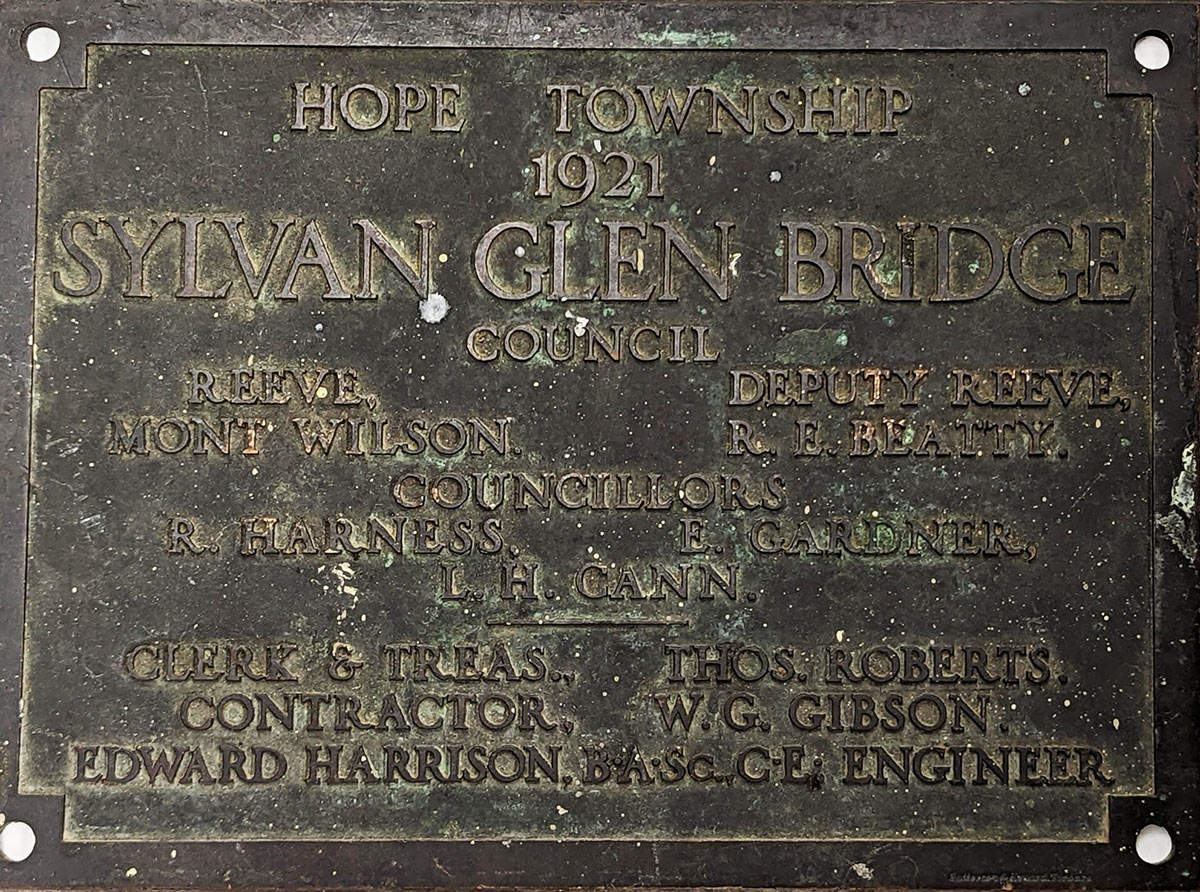
Amongst the distinctive traffic structures in Port Hope is the century-old bridge, with its concrete balustrades, on Sylvan Glen Road between Dale Road and the 4th Line. Its replacement is now being considered by the Municipality, and a Cultural Heritage Impact Evaluation, including a Heritage Impact Assessment, has been commissioned. The heritage consultant preparing the Evaluation requested ACO’s response.
This is a special spot, made quieter from traffic that must slow down because of the bridge’s narrow dimensions and the enduring attraction of this area of the river. Heavy truck traffic has been banned on this secondary road that is only one concession long, and the route is marked as a bicycle route, one that’s frequently used.

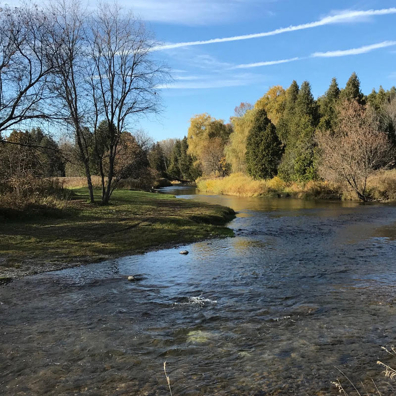
There are three reasons for particular attention to this location: the differing vistas to east and west of the winding river (here gently flowing); the attraction for both passers-by and anglers of the physical structure with its railings, and the public area to the west from this juncture of the Conservation Authority that is immediately visible on the river’s south bank. Obviously, the community has a vested interest in augmenting this quiet attraction. On the north bank, scarcely visible from the road, is an entrance to the Harris Trail – perhaps deserving of even greater emphasis. Bill Harris, his wife Penny, and friends have created this Trail to follow the river, ending at the northward-turning curve of the 4th Line.”
Two bridges have been constructed over the creek which passes through this property at the point where it enters the Ganaraska, as well as several benches at viewpoints, and board walks over wet areas. The Trail is a gem, respected by its visitors, combining open meadows and wet areas, with dark shadows and shafts of sunlight penetrating its cedar bush of mature trees. It offers restorative solitude or conversations with passing families and pets; it never seems crowded, yet the numbers in any one day can be quite surprising. We understand the Harris family has given thought to how this oasis might endure.

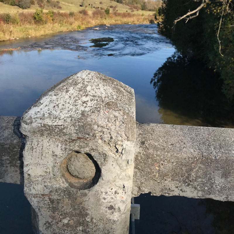
The bridge itself is clearly deteriorating. It’s not surprising that engineering studies have ruled that it can no longer service today’s traffic. However, the concrete bridges of the early 1920s, when the province’s United Farmers’ government made the upgrading of rural roads its leading priority, deserve notice. These sturdy bridges, well built for their day, are now rare – only a few have been preserved. Yet those that remain attract notice and are a reminder of the quantum change in political and social planning that occurred immediately following WW1, under Ontario’s only government that was not formed by an organized political party. A modern replacement with no nod to these echoes is simply not appropriate.
If a replacement bridge becomes the option, the existing visible elements of this bridge to the west side must be preserved. The concrete posts and railing deserve to be replicated and a repetition of this structure’s railings should be included for pedestrians and viewers beyond the road allowance. Ideally, the existing structure would be kept for pedestrians and cyclists and a new bridge erected on the east side of the road allowance. Posts, in which rebar is now showing, would need repair, but the century-old bridge would provide a perfect look-out over the river’s sand-bar to the west. Recreational use of this road and its riverbanks will doubtless continue to grow and become even more important to our community.
Preserving this heritage bridge is all about protecting its wider context.
